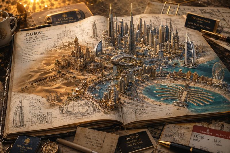
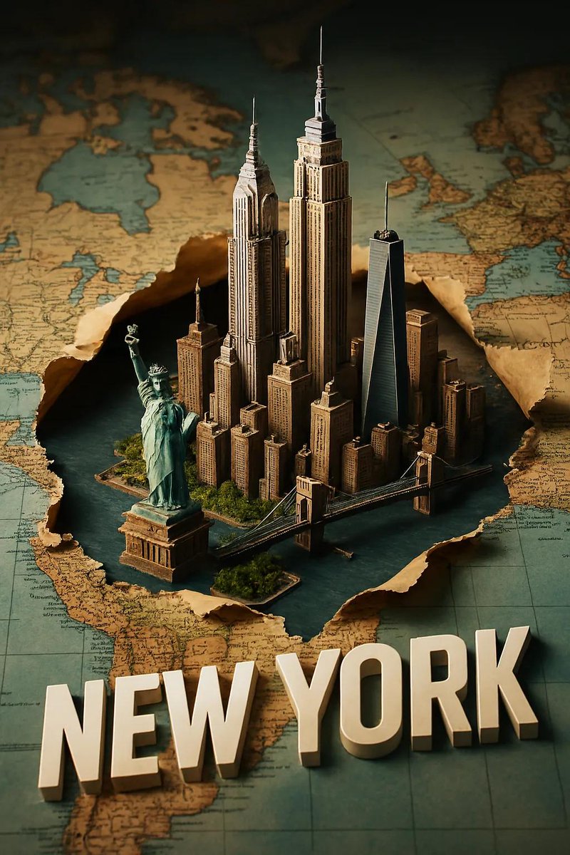
3D 地图城市立体模型
Prompt
PYTHON_SCENE_GRAPH :: PARAMETRIC_CITY_RELIEF class Variables: city = "{argument name="city" default="[CITY]"}" city_name_text = "{argument name="city name" default="literal city name from input"}" region_context = "infer country, terrain, climate, culture, urban identity" topography = "infer mountains, rivers, coastlines, plains, islands, deserts, hills" urban_grid = "infer district density, roads, transit corridors, urban pattern" landmarks = "infer landmark_set(city)" signature_core = "infer most symbolic central landmark or public space" style = "luxury 3D cartographic city model" class TerrainSlab: form = "thick raised cutout map base" surface = Variables.topography edges = "engraved title panel, legend, compass, scale, inset regional map" material = "matte stone/plaster/cartographic model material" class CityTypography: text = Variables. city_name_text form = "monumental 3D letters" function = "each letter is an inhabitable building mass" placement = "integrated into city map, not floating" rule = "word must remain readable from aerial view" class UrbanLayer: roads = Variables.urban_grid districts = "infer neighborhoods and density zones" landmarks = Variables.landmarks core = Variables.signature_core labels = "derive place labels from city geography" class Atmosphere: camera = "elevated three-quarter macro" lighting = "soft premium studio daylight" details = "vehicles, clouds, aircraft, trees, people only if appropriate" def render(): return """ Render {argument name="target city" default="[CITY]"} as a raised terrain-map diorama where the city name becomes monumental architecture, surrounded by inferred geography, landmarks, labels, roads, and atlas-style cartographic details. """- Category
- Charts & Infographics
- Model
- GPT Image 2
- Creator
- Gadgetify
- Source ID
- 19685
- Published
- May 11, 2026
Views4